
n
n
n
n
n
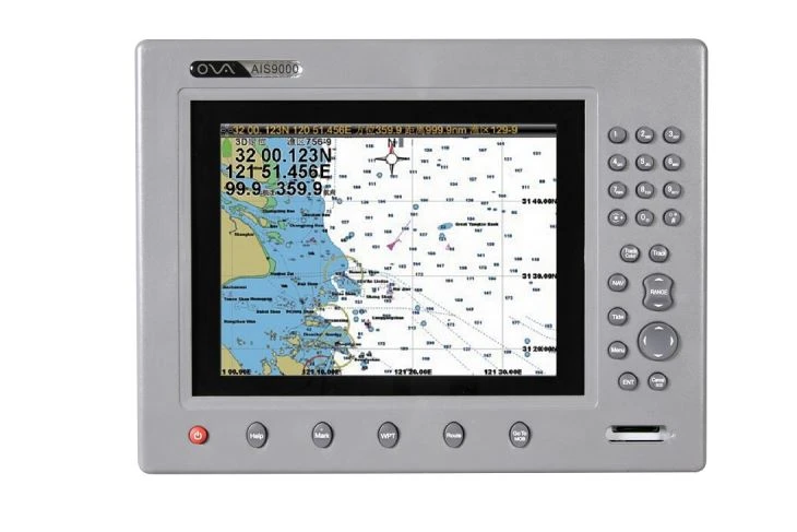
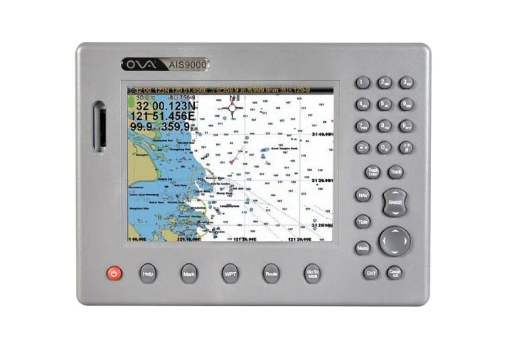
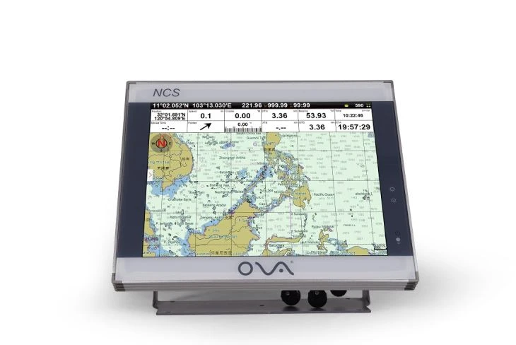
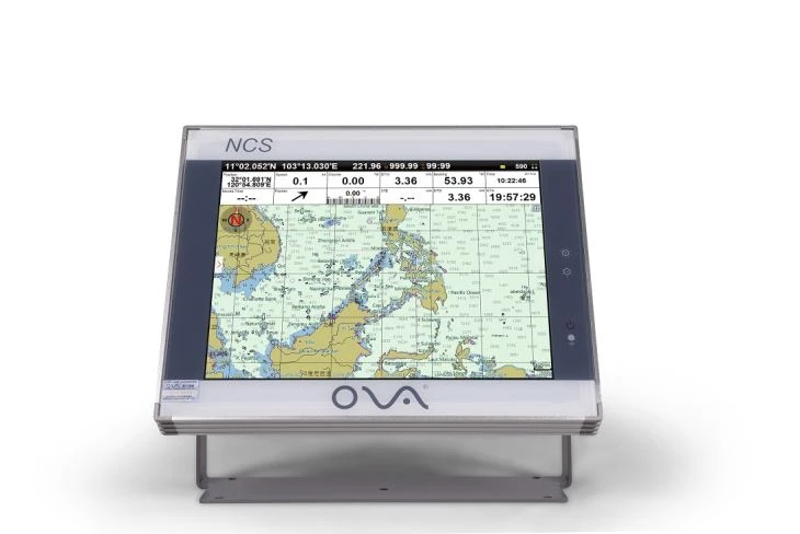
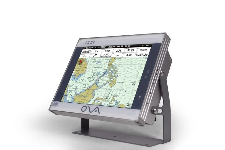
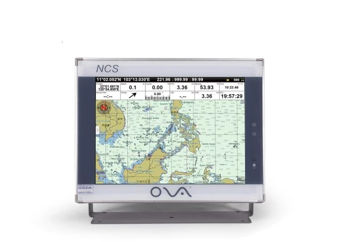
nNavigating the open waters demands precision, reliability, and advanced technology. The 12-Inch LCD Marine Chart Plotter with AIS is engineered to meet these needs, offering professional mariners and recreational boaters a powerful, all-in-one solution for seamless navigation and collision avoidance. Combining a high-resolution display, integrated AIS (Automatic Identification System), and user-centric design, this chart plotter redefines marine navigation for modern seafarers.
n
n
n
n
n
n
n
n
n
n
n
n
n
n
n
n
n
n
n
n1. 12-Inch High-Brightness LCD Display
nExperience crystal-clear visuals with the vibrant, sunlight-readable 12-inch LCD screen. Designed for optimal visibility in all lighting conditions, its anti-glare coating and wide viewing angles ensure charts, radar overlays, and AIS data remain sharp, even under direct sunlight. The intuitive touchscreen interface allows for effortless zooming, panning, and menu navigation.
n
n
n
n2. Integrated AIS Receiver/Transceiver
nEnhance safety with real-time vessel tracking and collision avoidance. The built-in AIS system automatically identifies and displays nearby ships, including their speed, course, and position, directly on your chart plotter. Receive instant alerts for potential collisions, enabling proactive maneuvering to avoid hazards.
n
n
n
n3. Multi-Sensor Connectivity
nConnect seamlessly to onboard sensors, including GPS, radar, sonar. The chart plotter supports NMEA 0183 protocols, enabling integration with third-party devices like fishfinders, autopilots, and VHF radios.
n
n
n
n
n
n
n
nSafety First with AIS Integration
nAIS technology is a game-changer for maritime safety. By displaying real-time positions of commercial ships, fishing vessels, and other AIS-equipped boats, this plotter helps you avoid collisions in busy waterways or low-visibility conditions. For vessels equipped with an AIS transceiver, your position is also broadcast to nearby ships, adding an extra layer of security.
n
n
n
nPrecision Navigation
nThe 12-inch display provides ample space to view charts, radar, and AIS targets simultaneously. Dual-channel GPS ensures <1.5-meter accuracy, while GLONASS support guarantees reliable positioning even in challenging environments.
n
n
n
nUser-Friendly Interface
nDesigned for simplicity, the intuitive menu system and customizable dashboard allow quick access to critical data. Split-screen mode lets you monitor sonar readings, engine metrics, and navigation charts at a glance.
n
n
n
nExpandable & Future-Ready
nWith SD card slots, the chart plotter supports software upgrades.
n
n
n
n
n
n
n
n
n
n
n
n
n
n
n
n
n
n