n
n
n
n
n
n
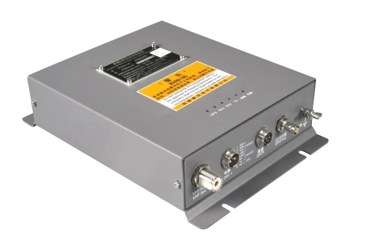
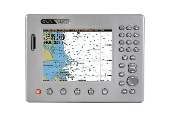
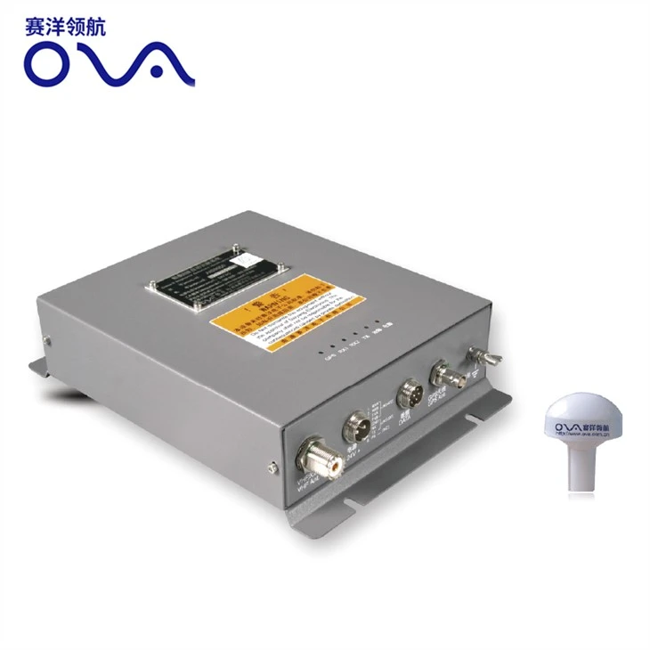
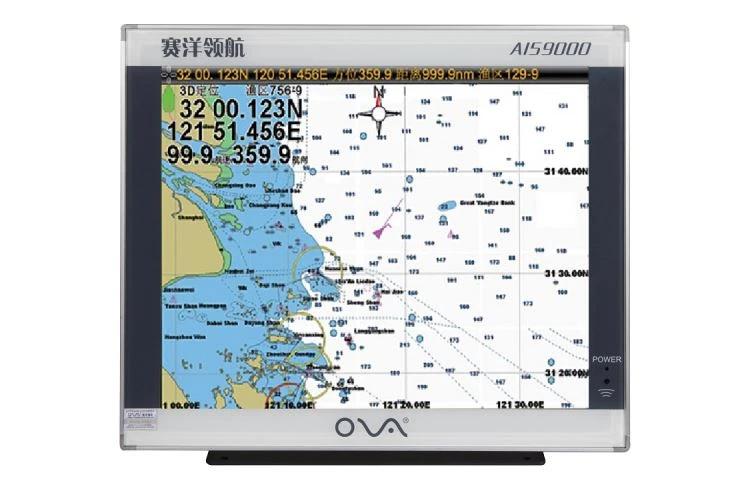
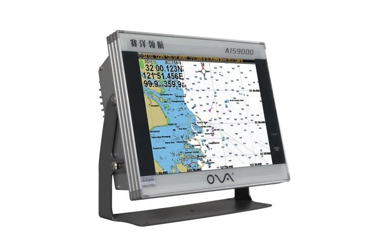
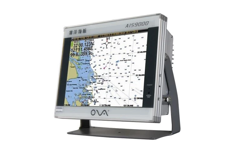
nThe ais class b chartplotter with 17 inch is built-in the GPS positioning function.
n
nThe AIS Class B Chartplotter with a 17-inch display is a state-of-the-art marine navigation system designed to elevate safety, precision, and efficiency on the water. Combining robust AIS (Automatic Identification System) Class B technology with built-in GPS positioning, this chartplotter is engineered to meet the demands of commercial vessels, recreational boaters, and maritime professionals. Its expansive 17-inch high-resolution screen, intuitive interface, and advanced features make it an indispensable tool for navigating coastal waters, busy harbors, and open seas.
n
n
n
n
n
n
n
n●Bridge alarm function confirmed by maritime
n
n●Text-to-speech technology; voice prompts and support.
n
n●HDT input; capability for stable direction.
n
n●Automatic tracking for AIS targets; real-time computing for distance and bearing to this vessel.
n
n●Dynamic real-time rendering of all AIS targets for location and motion vectors.
n
n●Dynamic information readouts for AIS targets; can send and receive AIS messages.
n
n●Unlimited backlight adjustment; comfortable night usage patterns.
n
n●Designed for embedded or countertop installation. Countertop installation supports multi-angle adjustment.
n
n
n
n
n
n1. 17-Inch High-Resolution Display
nThe ultra-wide 17-inch sunlight-readable screen delivers crystal-clear visibility in all lighting conditions. With anti-glare technology and customizable color palettes, users can effortlessly view charts, and AIS targets.
n
n2. Integrated AIS Class B Transceiver
nEquipped with an AIS Class B transceiver, this chartplotter enhances situational awareness by broadcasting your vessel’s position, speed, and course to nearby ships while receiving real-time data from other AIS-equipped vessels. This feature is critical for collision avoidance, especially in high-traffic zones or low-visibility conditions.
n
n3. Built-In GPS with Multi-GNSS Support
nThe integrated GPS module supports multi-constellation GNSS, ensuring rapid and accurate positioning worldwide. Users can track their vessel’s location with precision, set waypoints, and follow routes with confidence. The system also includes a built-in antenna for seamless signal reception.
n
n
n
n
n
n
n
n
n
| Model | AIS9000-L170 |
| Voltage | DC 24V (11~35V) |
| Power Consumption | ≤20W |
| Power | High Performance, full isolated, PWM control of power supply |
| Installation | Bracket and Embedded |
| Display Unit | |
| Type | 17” TFT LCD |
| Resolution | 1280×1024 |
| Language | Simplified Chinese, Traditional Chinese, English |
| Plotter Characteristics | |
| Data Storage | Suspension data: Information of ship’s latitude and longitude, fish zone, speed, course; Navigation information of waypoints and routes; Time, date and so on |
| Other Functions | Tide and Compass Pages; |
| GNSS Characteristics (Customized GPS+Beidou) | |
| Receive Type | GPS/ Glonass / Galineo / Beidou Support: WAAS / EGNOS / MSAS / GAGAN |
| Receive Channel | GPS: 1575.42MHz(L1) Beidou: 1561.098MHz(L) |
| Acquisition Time | Cold Start: 45s Hot Start: 15s |
| Accuracy | GPS:<15m(95%) Beidou: Horizontal 25m (95%) Vertical: 30m (95%) |
| Interface | |
| Input / Output | GPS/Beidou(GGA,GLL,GSA.GSV,RMC,VTG,AIS(VDM)) |
| SD Card | Update software and chart, import and export data |
n
n
n
n
n
n
n
n
n
n
n
nFAQ of the AIS Electronics Chartplotter