

n
n
nProduct Description of the best boat navigation system
n
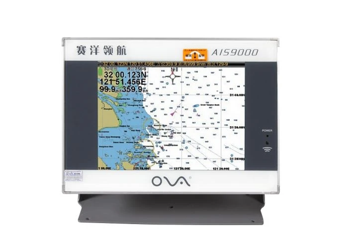
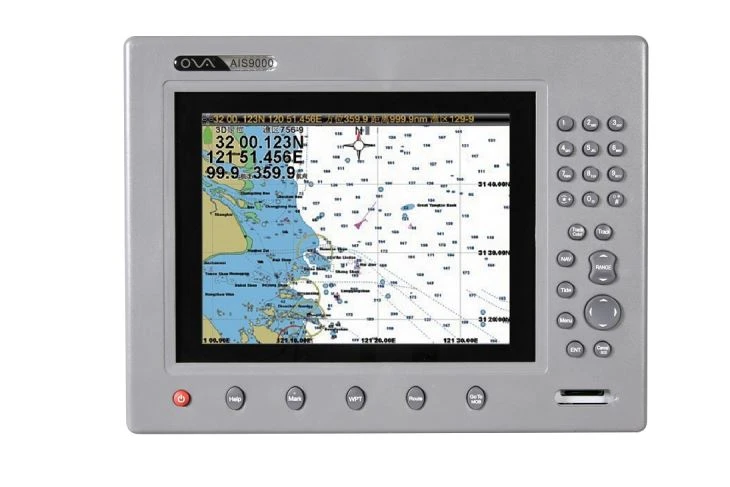
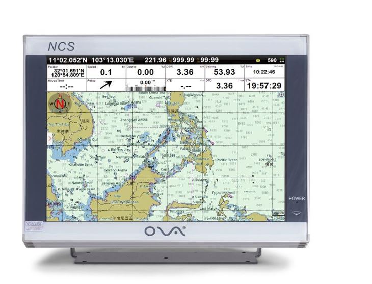
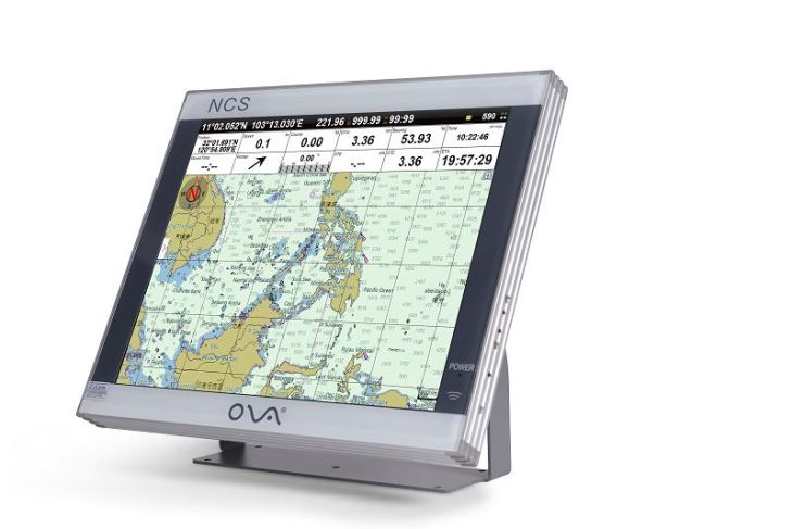
nAIS GPS with 17” display can be connected with radar, sonar, compass and other different kinds of sensors for multi-image display.
n
nWe could customize the marine gps chartplotter with multilingual, and our marine navigation adopt Windows operating system.
n
n
n
nSpecification of the best boat navigation system
n
n
| Model | AIS-N17 |
| Display | 17” |
| Resolution | 1280*1024px |
| Voltage | DC 24V(11~35V) |
| Power | High-performance, full isolated, PWM control of power supply |
| Mount | Bracket Mount or Flush Mount |
| Power Consumption | ≤20W |
| Language | Simple Chinese, Traditional Chinese, English (Can be customized) |
| Map Format | S57, S63(ENG), CJ57, CJ63, C-Map |
| Image Format | img, tif |
| Map Display Mode | Heading Up, Course Up, Route Up, North Up, East Up, South Up, West Up |
| Ownship Data | Position, Speed, Course, Heading, Altitude, GPS Positioning Status, Present Fishing Zone |
| Navigation Data | Bearing, Present Distance, Distance to the Destination, Yaw Distance, Yaw Angle, Navigation Arrow, Sailing Time, ETA (Estimated Time of Arrival), Navigation Distance, Average Speed, Maximum Speed, Target Fishing Zone, etc. |
| Others | Time, Depth, Wind Speed, Wind Direction, Simple Compass, etc. |
| Data Display Mode | Top Display (Various Arrangement), Left Display, Right Display, Suspension Display |
| User Data | ≥50000 waypoints, 200 routes, 10000 waypoints per route. 20000 tracks, 500 tracks per AIS. Plot data(point, line, plane) |
| SD Card | Update Software, chart data import and export |
| AIS Functions | AIS Display, AIS Message, AIS Log, AIS Fleet Management, AIS Fishing Net Management, AIS Special Vessel Management. etc. |
| System Alarm | Loss Alarm, Time Alarm, Low Voltage Alarm, High Voltage Alarm, No Positioning Alarm, Positioning Accuracy Alarm |
| Navigational Alarm | Yaw Alarm, Arrival Alarm, Anchor Drag Alarm, Bridge Alarm, Danger Alarm, Precautionary Area Alarm, etc. |
| Other Functions | Measuring Distance, Compass Superposition, Eccentric Setting, Calendar, Harbor, Tide, Odometer, Navigational Log, Find the Map according to Longitude and latitude, etc. |
| GNSS Performance | Customized Positioning Source(GPS, Beidou, Glonass, Galileo) |
| Receiving Type | GPS, Beidou, Glonass, Galileo |
| Receiving Channel | GPS:1575.42MHz Beidou:1561.098MHz |
| Positioning Time | Cold Start:45s n nHot Start:15s |
| Positioning Accuracy | GPS:<15m (95%) n nBeidou: Horizontal 25m (95%) n nVertical: 30m (95%) |
| Input(NMEA0183) | GPS, AIS, Compass, Depth, Water Temperature, etc. |
| Output(NMEA0183) | GPS: GGA, GLL, GSA, GSV, RMC, VTG, ZDA |
| Navigation | AAM, APB, BOD, BWC, BWR, RMB, RTE, WPL, XTE |
| Sonar | DBT, DPT, MTW, VLW, VHW |
| USB | Software Upgrade; Can be connected with Mouse, Keyboard; User data import and export |
| Frequency | AIS 1: 87B/161.975MHz n nAIS 2: 88B/162.025MHz |
| Bandwidth | 25KHz |
| Output Power | 2W |
| Modulation Mode | GMSK |
n
nPacking&Shipping
n
| Delivery Time | 2~5days: DHL,FedEx,UPS,etc. n5 ~10days: EMS,Airport cargo n10 ~60days: Sea cargo |
| Payment Terms | T/T, western union, paypal, alipay, irrevocable LC at sight |
| Packaging | gift box + strong protection carton boxes suitable for long term delivery |
| Shipping | DHL, UPS, FEDEX, TNT, EMS, by air, by sea, China post, any way you think is suitable |
n
n
n
nOur Service
n
n
n
nTechnical Support
n
nOur company has three senior technicians and twelve professionals with high technological level, abundant specialized research practice experience and strong developing abilities. Meanwhile, our company has cooperated with some institutes of higher education and science & technology institutes to ensure the sustaining development of scientific research and development work.
n
n
n
nFAQ
n
nQ: Where is your company located? How can I visit it?
nA: Our company is located in Nantong, which is about two hours from Shanghai and half an hour by car from Nantong Airport.
n
n
nQ: How can I get the sample?
nA: Samples could be sent within 3-5 days if there is in stock. Generally, sample is not free.
n
nQ: What’s the lead time?
nA:If we have stocks of the item you need, we can send goods to you within 3-5 working days after 100% payment into our bank account. If we don’t have enough stocks, different products will take different days. Generally, it need around 30-35 days.
n
nQ: How does your factory control product quality?
nA: ISO9001 Certificated, independent quality control team with inspectors in our factory.
n
nQ: What is your Minimum Order Quantity?
nA: We sell you at least 10pcs for each item in normal order, but we also accept the sample order.
n
nQ: What’s about shipping?
nA: Small order can be shipped by air and large quantities can be shipped by sea, no matter your assigned agent or ours, Our best advantage is that we’re located in Nantong that is close to Shanghai and Nantong Port.
n
n
nQ: What’s your agency/distributor policy?
nA: We have too many different policies according to target markets, so please send email for detailed discussion or talk face to face.