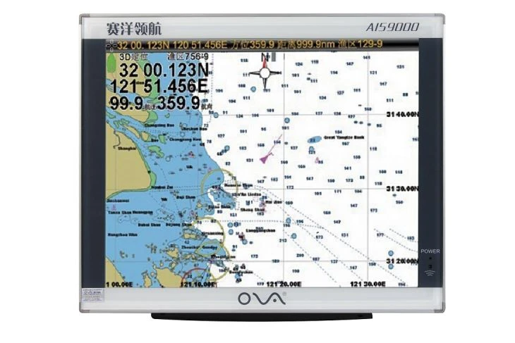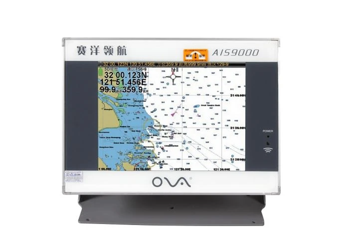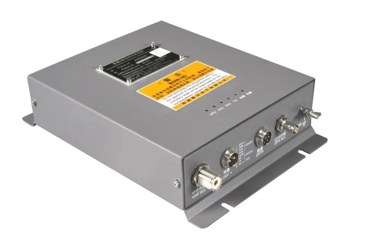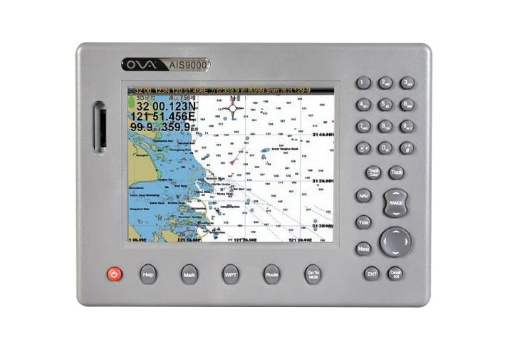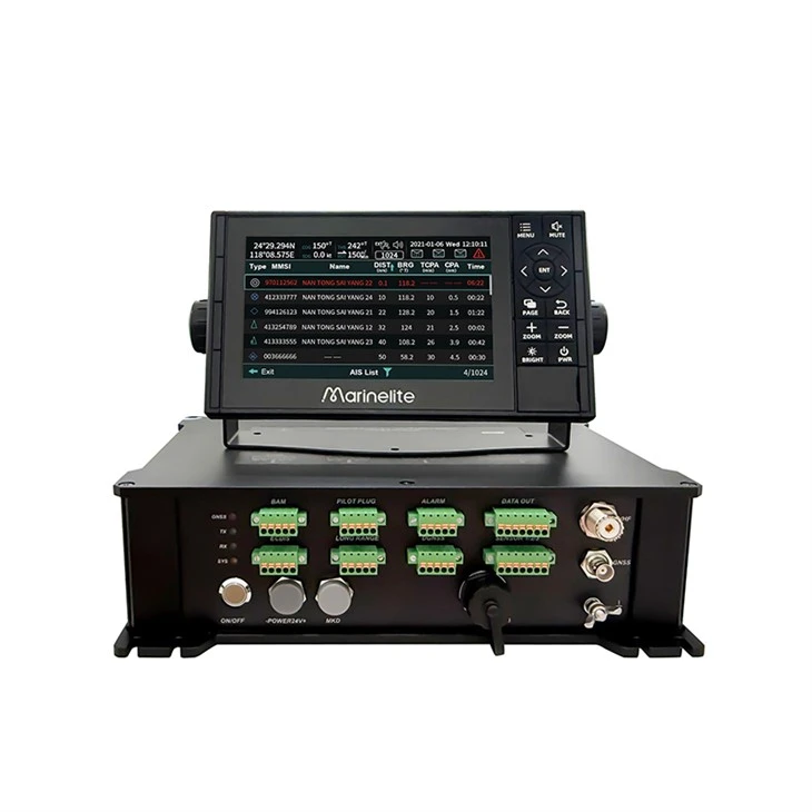
Class A AIS systems are designed to provide real-time information about a vessel’s location, speed, heading, and other critical data to nearby ships, coastal authorities, and other maritime stakeholders. These systems operate on two frequency bands — VHF maritime band and the SOTDMA (Self-Organizing Time Division Multiple Access) band — enabling seamless integration with existing navigation and communication systems.
nIn addition to real-time tracking and identification of vessels, Class A AIS systems also provide critical safety features, such as collision alerts, distress messaging, and dynamic routing information. These features are essential for preventing collisions, minimizing the risk of accidents, and ensuring the safe and efficient flow of maritime traffic.
nFurther, Class A AIS can be integrated with various other technologies, including radar, ECDIS (Electronic Chart Display and Information System), and Inmarsat satellite communications, to provide a comprehensive, real-time view of vessel movements and conditions. This integration enables operators to make more informed decisions, manage vessel traffic more efficiently, and respond more quickly to any emergency.
n
n
n
nProduct Features
n
n
n
n
n
n
n
n
n
n
n
n
n
n
n
n

n
n

n
n

n
n

n
n

n
n

n
n

n
n

n
n
n
n
nFAQ: Class A AIS
n
nFor commercial vessel operators and maritime professionals, we’ve compiled the most common Class A AIS questions with clear, concise answers to cover compliance, functionality and troubleshooting.
n
nClass A AIS is an IMO-mandated maritime tracking system for commercial vessels. It broadcasts real-time vessel data (position, speed, identity) to nearby vessels and shore VTS centers via the SOTDMA protocol, ensuring no data delays even in busy lanes, enhancing safety and situational awareness.
n
nSOLAS mandates it for: commercial ships ≥300 GT (international voyages), ≥500 GT (non-international), and all passenger ships. The U.S. Coast Guard also requires it for specific commercial vessels (e.g., ≥65ft self-propelled).
n
nClass A is for commercial/SOLAS vessels: 12.5W power (20–30nm range), 2–12s data updates, mandatory SOTDMA and safety messaging. Class B (for small non-SOLAS vessels) has 2W power (5–10nm range), slower updates, and no mandatory messaging.
n
nIt transmits three data types: static (MMSI, ship name, dimensions), dynamic (real-time position, speed, course), and voyage-related (draught, cargo, destination, ETA).
n
nYes, 24/7 when at sea or in port (even anchored), per SOLAS. Exceptions are rare (e.g., sensitive military ops). Non-compliance risks fines or port detentions.
n
nChoose an IEC 61993-2/SOLAS-certified unit, program correct static data, update voyage info, perform routine checks, and keep annual test/maintenance records.
n
nTroubleshoot: check power/cables/fuses (power issues), ensure unobstructed GPS antenna (signal issues), verify MMSI and VHF antenna (transmission issues). Contact technical support if unresolved.
n
nYes, it integrates seamlessly with ECDIS, radar, VDR and pilot plugs via NMEA protocols, creating a unified navigation picture for bridge teams.
n
nDaily: check power and data accuracy; Monthly: inspect antennas/cables; Annual: certified technician performance test and firmware update (if available).
n
nYes, for all SOLAS vessels. It’s critical in open oceans (limited radar/visibility) with 20–30nm range, aiding collision avoidance and VTS monitoring.
n
nCompliance with EU MED 2014/90/EU (plus SOLAS/IEC 61993-2), connection to VDR for data logging, and AIS visibility to EU VTS. Non-compliance risks port denial or fines.
n
nSingapore MPA requires operational AIS for port entry; China MSA mandates it for ≥300 GT vessels with regular inspections; Japan MLIT enforces SOLAS plus extra inland/port requirements.
n
nStill have questions? Contact our maritime technical team for personalized support.
n
| Power source | DC24V |
| Class | ClassA |
| Bandwidth | 25KHz |
| Modulation scheme | GMSK |
| Bit rate | 9600bps |
| Frequency | 156.025MHz~162.025MHz |
| AIS TX Channel/Frequency | AIS1(CH87B):161.975MHz n nAIS2(CH88B):162.025MHz |
| AIS RX Channel/Frequency | AIS1(CH87B):161.975MHz n nAIS2(CH88B):162.025MHz |
| DSC RX Channel/Frequency | 70/156.525MHz |
| Receiving sensitivity | Better than -107dBm |
| Frequency Error | <±500hz |
| RF out Power | 1W/12.5W |
| GNSS RX Frequency | BDS:B1I:1561.098MHz |
| GPS:L1 1575.42MHz | |
| Interface | BAM n nPILOT PLUG n nData output x 3 n nECDIS: Bidirectional data interface n nLONG RANGE: bidirectional data interface n nDGNSS n nSensor data input x 3 |
| Performance Standard Compliant | IEC 61993-2 2018 n nR-REC-M.1371-5-2014 n nIMO MSC.74(69) n nIMO MSC.302(87) n nIEC 62923-1 n nIEC 62923-2 n nIEC 62288 -2021 n nIEC61162-1 n nIEC61162-2 n nIEC60945 |
| MKD Display | 7inch or 10.1 inch options |
| Display language: Simplified Chinese, Traditional Chinese, English |
n