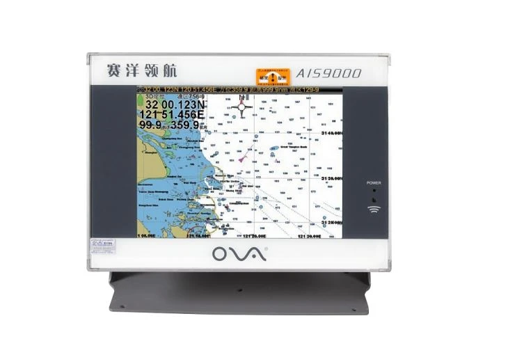
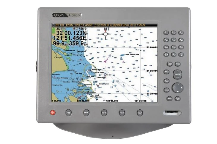
n1.Product Introduction of the chartplotter with ais built in
n
n2.Product Feature of the chartplotter with ais built in
n
n●Built-in high sensitivity GPS receiver board with accurate positioning, adopting advanced and independent R&D technology of high stable navigational speed and course
n
n
n
n●GPS,Chart,Tide,Compass,etc,Internal AIS,can be connected with echo sounder,fish finder and wireless AIS fishing net buoy ,Flash quick start technology,stable perfomance
n
n
n
n●Enavi adopts S52 standard chart display, supports international S57 and S63 chart format
n
n
n
n●Aerospace-grade, all time professional true-colour TFT LCD,suitable for navigation in the sun and at night;
n
n
n
n●Rapidly update by external SD card that is fully supported the system, chart and the update of the extended functions.
n
n
n
n●CERTIFICATED of Marine Product(Class-B) by China Classification Society (CCS) ; Comply to AIS Class-B shipborne equipment standard (IEC 62287-1)
n
n
n
n●Certified by Register of Fishing Vessel of The Peopleˊs Republic of China
n
n3.Product Parameter(Specification)of the chartplotter with ais built in
n
|
n
Model
|
n
eNavi-X12
|
|
n
Power Supply
|
n
DC24V(11-35V)
|
|
n
Power
|
n
High-performance, full isolated, PWM control of power supply
|
|
n
Installation
|
n
Bracket or Embedded
|
|
n
Power Consumption
|
n
≤20W
|
|
n
Display Unit
|
|
|
n
Type
|
n
12”
|
|
n
Resolution
|
n
800*600PX
|
|
n
Language
|
n
Simplified Chinese, Traditional Chinese, English(Can be customized)
|
|
n
Navigation Characteristics
|
|
|
n
Data Storage
|
n
Plotting point: 10000 Plotting line: 10000 Plotting surface: 10000 Waypoints: 100000 Routes: 10000(500 waypoints/route)
nTracks≤10000(points≤50000) |
|
n
Data Display
|
n
Suspension data: Information of ship’s latitude and longitude, fish zone, speed, course; Navigation information
|
|
n
Other Function
|
n
Tide and Compass Interface; AIS Display and Alarm, AIS Message, Vessel Management(If input AIS)
|
|
n
GNSS Characteristics
|
|
|
n
Receive Type
|
n
Gps/Glonass/Galileo/Beidou Support:WAAS/EGNOS/MSAS/GAGAN
|
|
n
Acquisition Time
|
n
Cold start:45s,Hot start:15s
|
|
n
Accuracy
|
n
Gps<15m(95%) Beidou:Horizontal 25m(95%) Vertical 30m(95%)
|
|
n
Interface
|
|
|
n
Input/Output
|
n
GPS/Beidou(GGA, GLL, GSA, RMC, VTG ,AIS(VDM))
|
|
n
SD Card
|
n
Update software and chart, import and export data
|
|
n
AIS Performance
|
|
|
n
Frequency
|
n
AIS:87B/161.975MHz AIS2:88B/162.025MHz
|
|
n
Bandwidth
|
n
25KHz
|
|
n
Output Power
|
n
2W
|
|
n
Modulation
|
n
GMSK
|
n
nInstallation of the chartplotter with ais built in
n
n
n
nSystem connectionof the chartplotter with ais built in
n
n