
1. Product Description of the chart plotter marine gps
n
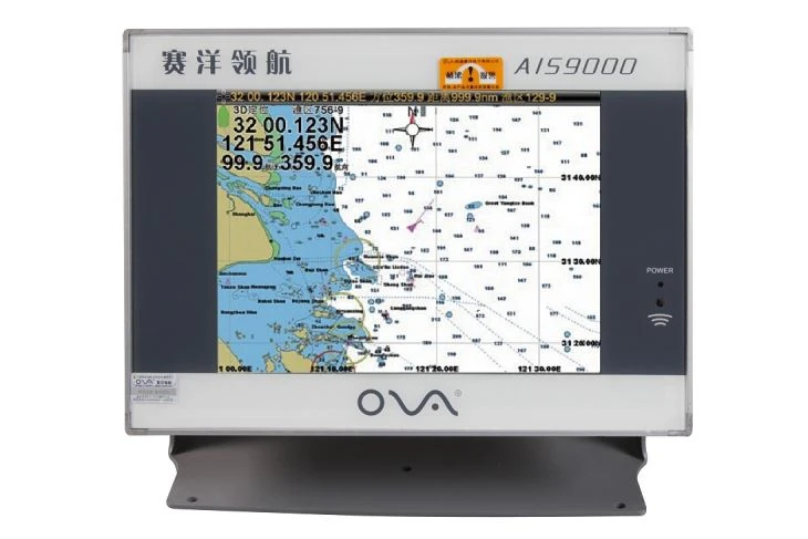
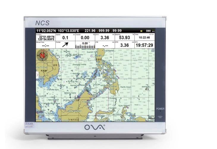
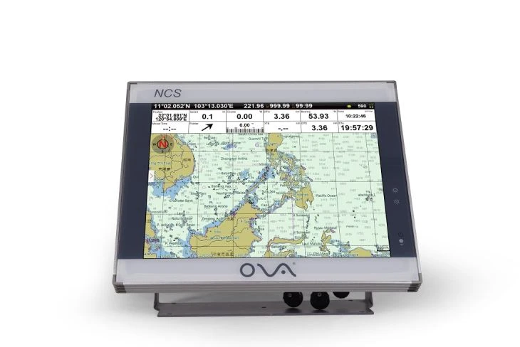
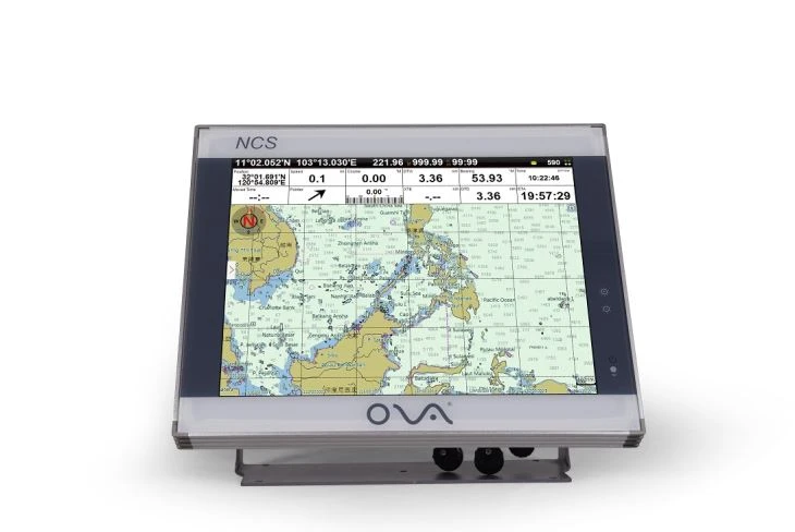
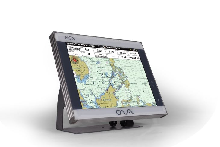
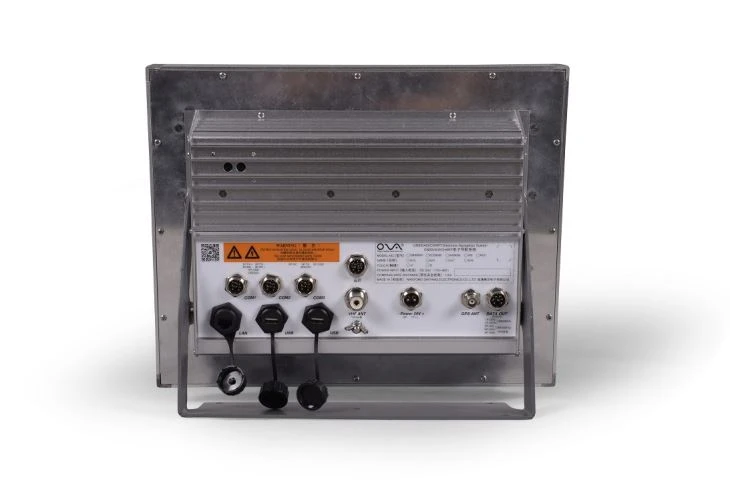
nChart plotter marine gps with 15 inch display is made by Nantong Saiyang Electronics CO., Ltd which has image maps,electronic chart and AIS target information.
n
nBig screen gives you good visual effects and make you see more clearly.
n
n2. Specification of the chart plotter marine gps
n
| Model | NCS-15 |
| Voltage | DC 24V(11-35V) |
| Bandwidth | 25KHz |
| Resolution | 1024*768px |
| Frequency | 161.975~162.025MHz |
| Power Consumption | ≤20W |
| Installation | Bracket or flush |
| User Data | 50000 waypoints,200 routes,10000 waypoints per route.20000 tracks,500 tracks per AIS |
| Navigation Data | Bearing,present distance,distance to the destination, yaw distance,yaw angle,navigation arrow,sailing time,ETA(estimated time of arrival),navigation distance,average speed,maximum speed,target fishing zone,etc. |
| Own Ship Data | Position,speed,course,heading,altitude,present fishing n nzone,GPS positioning mode |
n
n
| Power | High-performance,full isolated,PWM control |
| Language | Simple Chinese,Traditional Chinese,English (Can be customized) |
| GPS Performance | Adopting advanced technology of high stable navigational speed and course |
| System Alarm | Loss Alarm, Time Alarm, Low Voltage Alarm, High Voltage Alarm, No Positioning Alarm, Positioning Accuracy n nAlarm |
| Navigational Alarm | Yaw Alarm, Arrival Alarm, Anchor Drag Alarm, Bridge n nAlarm, Danger Alarm, Precautionary Area Alarm, etc. |
| Other Functions | Measuring Distance, Compass Superposition, Eccentric Setting, Calendar, Harbor, Tide, Odometer, Navigational Log, Find the Map according to Longitude and latitude, etc. |
| SD Card | Update Software, chart data import and export |
| Input(NMEA0183) | GPS, AIS, Compass, Depth, Water Temperature, etc. |
| Output(NMEA0183) | GPS: GGA, GLL, GSA, GSV, RMC, VTG, ZDA |
| Navigation | AAM, APB, BOD, BWC, BWR, RMB, RTE, WPL, XTE |
n
n
| Sonar | DBT, DPT, MTW, VLW, VHW |
| USB | Software Upgrade; Can be connected with Mouse, Keyboard; User data import and export |
n
n3.Product Feature And Application of the chart plotter marine gps
n
n● Support GPS + Beidou Accurate positioning
n
n
n
n● 15-inch High resolution (800×480 pixels)LCD
n
n● Easy to Operate
n
n● Waterproofing and sealing construction
n
n● Detailed and large – range chart, more efficient chart refresh
n
n● Wide voltage design, DC voltage 12V~35V input
n
n4.Production Details of the chart plotter marine gps
n
n
n
n
n
n
n
n
n
n
n
nCompany Information
n
nNANTONG SAIYANG ELECTRONICS Co., Ltd, established in 2003, is located in Central Business District on Taoyuan Road of Nantong City.
n
nOur company is the high-tech enterprise which mainly engages in researching and developing, manufacturing, marketing of marine communications and navigation equipments. We can supply various products to meet customers Requirements.
n
nThere is a strong research and development team with 2 Doctors, 1 Master, and 3 Advanced Engineers, who have the high lever technology and professional research experience with the strong development capabilities. At the same time, our company collaborates closely with some universities to ensure our research and development.
n
nWith facilities covering an area of 10, 000 square meters, we can supply a large quantity of products in marine navigation products, with testing, manurfacturing and storage as a whole. It is well-equipped, full-featured with more than 50 millions annual production capacity. Besides, we have a superb operation team to guarantee high quality productions.
n
nCompany has one sales network spreading domestic along the river, the coast extending to the overseas. Our sales agent are over 50, and annual sales are more than 10 million. Company has produced the main products as followings:
n
n”Depth Transducer”, multi-fuction product of “Marine Embedded ChartPlotter “, “Low Side Lobe Antenna”, “Embedded High Image Echo Sounder”, “ECDIS” and so on. These productions due to advanced technology, good performance, are well received by the customers.
n
nMeanwhile, company agents and manages following products: A variety of radar,
n
nSounders, differential GPS, high-frequency, high frequency radio, AIS, NAVTEX, two-way wireless phones, radar transponders, the satellite position indicating beacon, marine monitoring equipment, hydrographic survey equipment and so on.
n
n
n
n