n
n
n
n
nMarine GPS Chart Plotter with AIS: A Fully Customizable, Self-Developed Navigation Solution
n
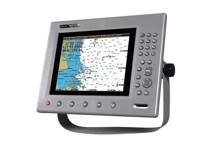
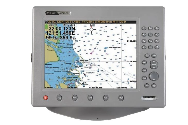
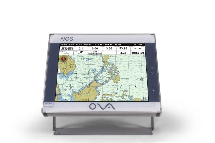
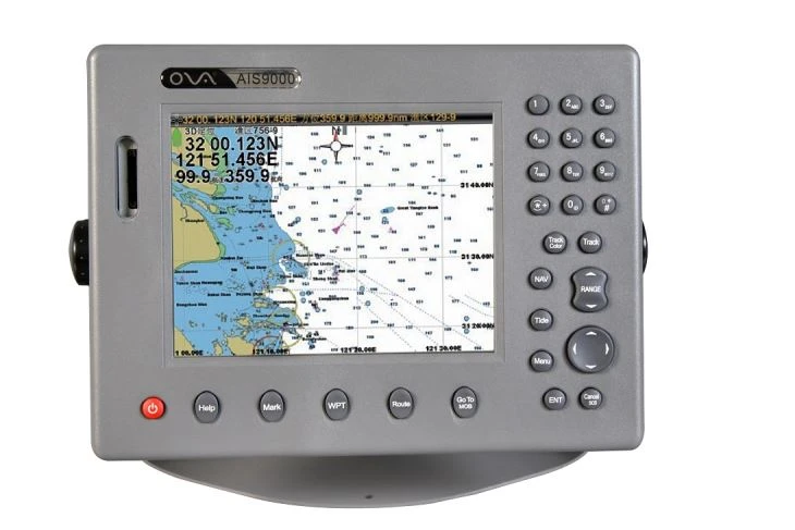
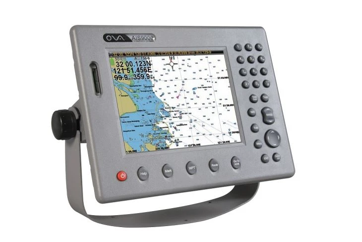
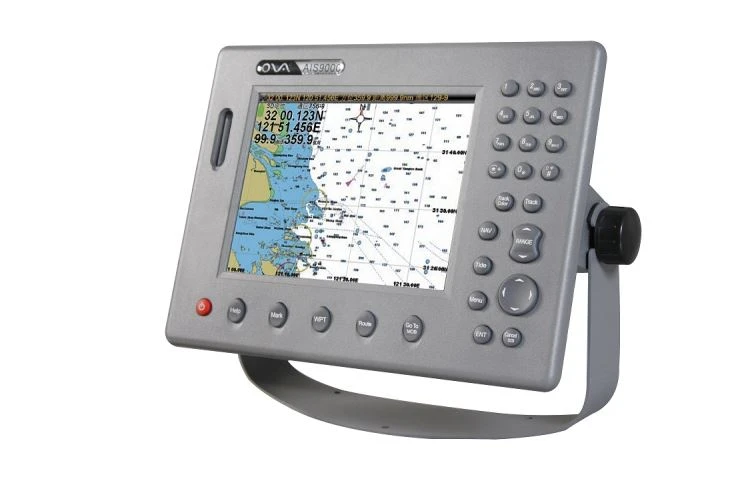
nNavigating the open waters demands precision, reliability, and advanced technology. Our Marine GPS Chart Plotter with AIS is a cutting-edge, self-developed navigation system designed to meet the diverse needs of maritime professionals and enthusiasts. Combining high-precision GPS positioning, integrated AIS (Automatic Identification System) capabilities, and customizable features, this device redefines marine navigation for commercial vessels, fishing boats, yachts, and rescue operations.
n
nOur 8 inch GPS navigator has high display resolution to give you good view.
n
nGPS navigator combine AIS target information and AIS group management.
n
n
n
n
n
n1. Self-Developed Core Technology
nEngineered entirely in-house, our chart plotter leverages proprietary software and hardware to deliver unmatched performance. Unlike off-the-shelf solutions, our system is optimized for flexibility, allowing seamless integration with third-party sensors, radars, or sonar systems.
n
n
n
n2. Integrated AIS for Enhanced Safety
nThe built-in AIS receiver/transmitter provides real-time vessel tracking, collision avoidance, and situational awareness. By displaying nearby ships’ positions, speeds, and courses, the system helps operators make informed decisions in congested waterways or low-visibility conditions. Customizable alarms for proximity alerts and collision risks further enhance maritime safety.
n
n
n
n3. High-Precision GPS Navigation
nEquipped with a multi-constellation GNSS module (GPS, and BeiDou), the chart plotter delivers centimeter-level accuracy, even in challenging environments.
n
n
n
n4. Tailored to Your Needs
nRecognizing that no two vessels are alike, we offer full customization of hardware and software. Choose from:
n- Screen sizes (8″ to 15″) and sunlight-readable displays.
n- Additional connectivity ports
n- Branding and interface customization to align with fleet standards.
n
n
n
n5. Rugged Marine-Grade Design
nBuilt to withstand harsh marine conditions, the device features an IP67 waterproof rating, corrosion-resistant housing, and shockproof construction. Its wide operating temperature range (-15°C to 55°C) ensures reliability in extreme climates.
n
n
n
n6. Intuitive User Interface
nThe responsive touchscreen, paired with a user-friendly menu, simplifies operation even for novice users. Split-screen modes allow simultaneous viewing of charts, radar, and engine data, while waypoint management and route optimization tools streamline voyage planning.
n
n
n
n
n
n
n
n
n
n
n
n
n
nElevate Your Maritime Operations
nWhether you’re outfitting a single vessel or an entire fleet, our Marine GPS Chart Plotter with AIS adapts to your unique requirements. By prioritizing innovation, durability, and user-centric design, we empower seafarers to navigate with confidence.
n
n
n
n
n
n