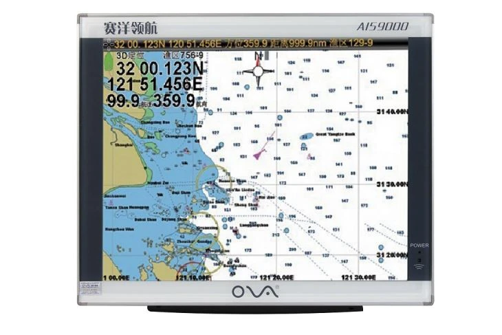

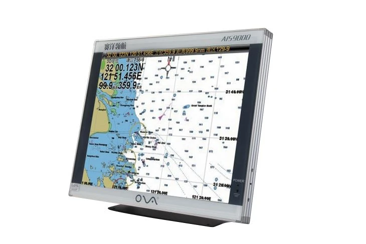
nProduct Description of the Marine GPS Plotter
n
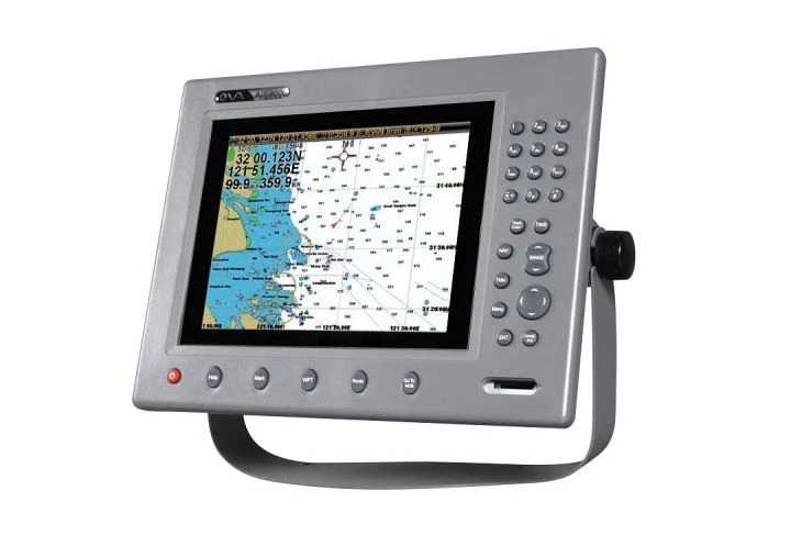
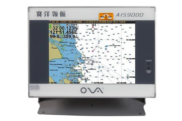
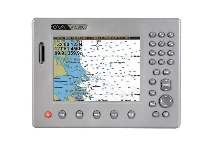
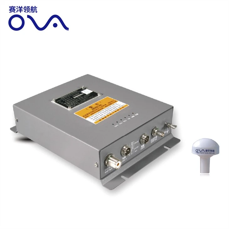
nMarine GPS plotter AIS9000-L190 19″ with built-in AIS is supplied by Saiyang.
n
nWe are manufacturer and developed in AIS marine navigation for 14 years.
n
nProduct Specification of the Marine GPS Plotter
n
| Model | AIS9000-L190 | |
| Display Size | 19″ | |
| Resolution | 1024×768 | |
| ExternalDimension | 442mmx362mmx100mm | |
| Display Mode | TFT LCD COLOR Display | |
| Operating Mode | Infrared remote control | |
| Language | Simple Chinese, English, Traditional Chinese | |
| Voltage Range | 11~35V DC | |
| Power | High performance, full isolated PWM control of power supply | |
| Power Dissipation | ≤30W | |
| Safe Distance of Compass | ≥1.5m | |
| n n n n n n n n n nAIS Function |
TX Channel | 1 ch |
| RX Channel | 2 ch | |
| RF Out Power | 2W | |
| Receive Frequency | 156.025~162.025MHz | |
| Default Channel | CH2087,CH2088 | |
| Bandwidth | 25KHz | |
| Modulation Mode | GMSK | |
| Receive n nSensitivity |
Superior to-107dBm | |
| TX Channel | 87B/161.975MHz | |
| RX Channel | 88B/162.025MHz | |
| n nGPS Receiver |
Adopt high speed stable technology | |
| GPS positioning accuracy:≤15m, 95% accuracy | ||
| Positioning time:cold start 45s, warm start 15s | ||
| n n n nNavigation Performance |
Waypoints:6000 points | |
| Marks:5000 points | ||
| Route:200 routes,each route contains 48 waypoints | ||
| Track:≥200 routes | ||
| Include the tide and compass | ||
| Intelligent collision avoidance | ||
| n n n nInterface |
1.GPS output:RS-422, NMEA0183, 4800bps | |
| 2.AIS input & output:RS-422, NMEA0183, 38400bps | ||
| 3.Sonar input & output:RS-422, NMEA0183, 115200bps | ||
| 4.GPS Antenna Interface:BNC base, impedence 50Ω | ||
| 5.VHF Antenna Interface:UHF base, impedence 50Ω | ||
| 6.Powerinterface: 24V DC(11~35V DC) | ||
| Environment | Temperature | -15℃~50℃ |
| Protection Level | IP44 | |
| n nStandard Annex n n |
1. GPS Antenna | |
| 2. Power Line | ||
| 3. Safety Fuse, Locking Screws | ||
| 4. Manual, Certificate, Warranty Card | ||
n
n
nPacking&Shipping
n
n●Weight:8.8kg
n
n●Port:Shanghai/Nantong
n
n●Lead Time :Shipped in 7 days after payment
n
n

n
n
n
nOur Service
n
n
n
nTechnical Support
n
nOur company has three senior technicians and twelve professionals with high technological level, abundant specialized research practice experience and strong developing abilities. Meanwhile, our company has cooperated with some institutes of higher education and science & technology institutes to ensure the sustaining development of scientific research and development work.
n
n
n
n
n
nFAQ of the Marine GPS Plotter
n
n